Our land surveying services
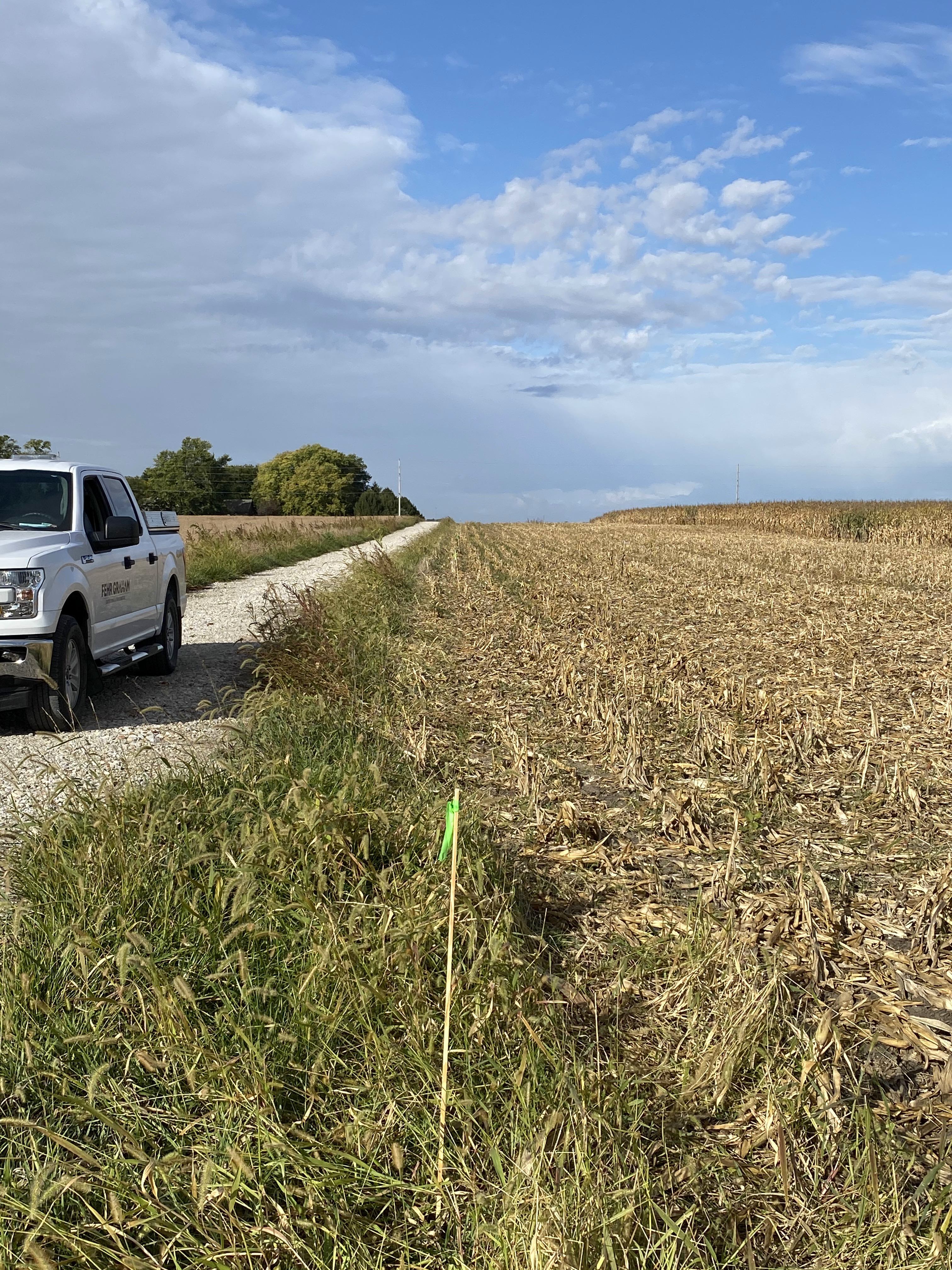
Land surveying is a detailed and time-intensive process. From locating property lines and mapping the best layout to analyzing data, you need accurate and timely results at every stage of the process. Without up-to-date survey information, projects could face costly delays.
At Fehr Graham, we understand the challenges of land surveying services. Our professional team includes engineers, scientists and landscape architects, making us a one-stop shop for all your land surveying needs. We stay updated on regulations and technology and collaborate with clients to provide high-quality, easy-to-read results that meet your project’s timeline and budget.
Fehr Graham's Solutions
Land surveying regulations change often, and technology advances even more rapidly. That’s why you need professional land surveyors who keep current on regulations, practices and tools to give you reliable, accurate and timely results.
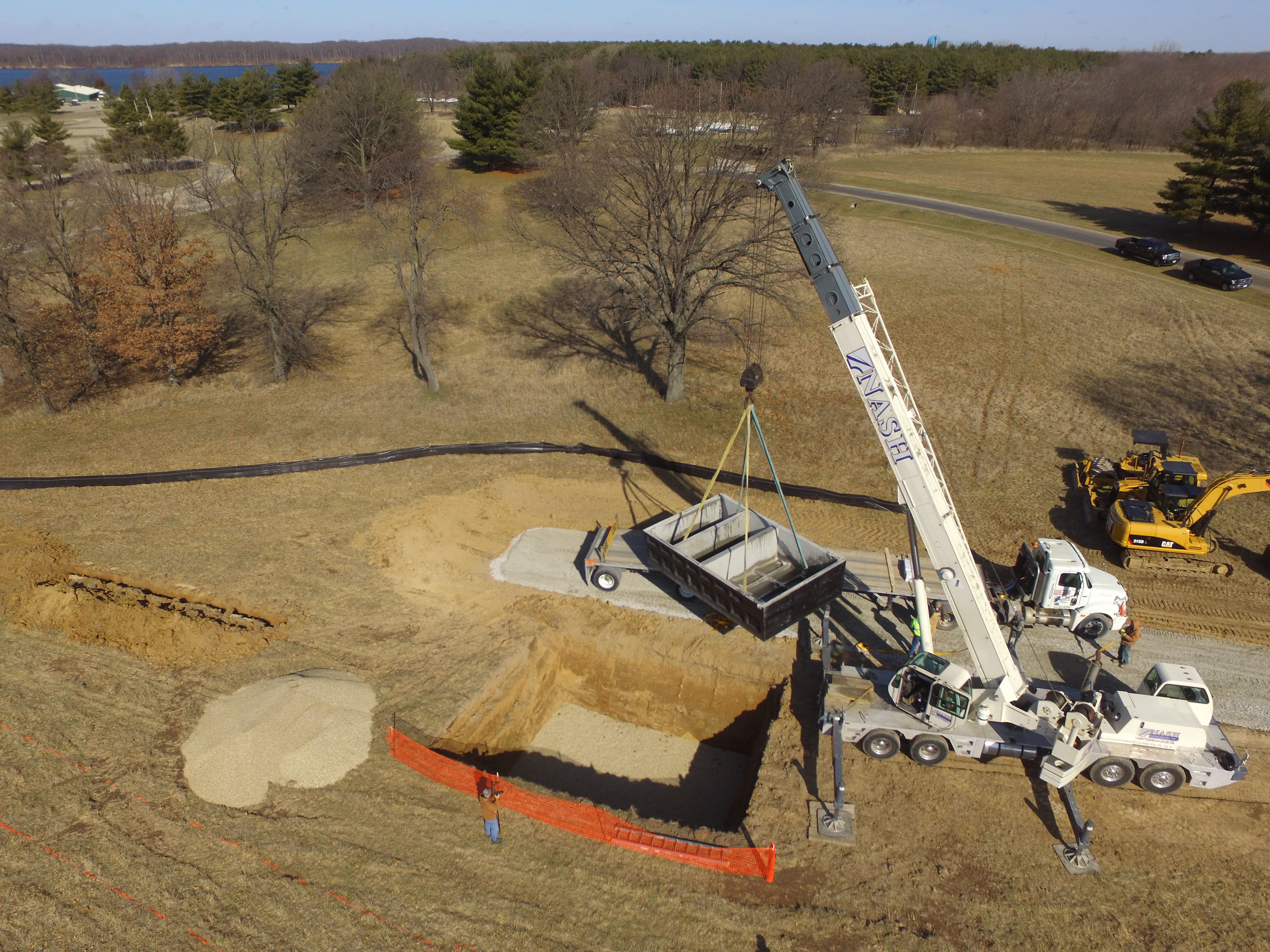
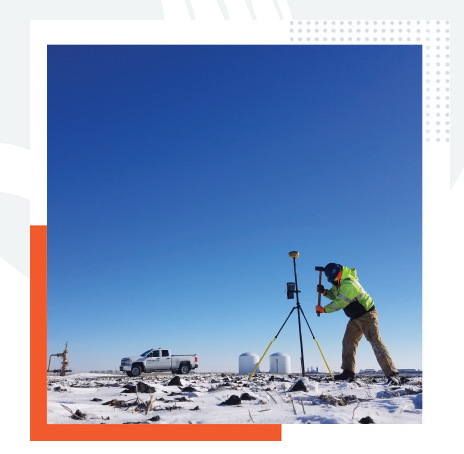
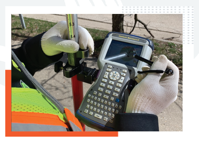
Fehr Graham professionals go the extra mile to stay updated on the latest technology and local policies for your project’s land surveying requirements. Using drones, our team members can give you a bird’s-eye-view of inaccessible areas. The result is highly accurate survey data to help ensure successful project outcomes.
Technology, accuracy and expertise are the core of our land surveying services.
- ALTA/ ACSM/ NSPS Land Title
- Property Boundary
- Aerial Mapping
- Environmental and Remediation
- Global Positioning Satellite (GPS)
- Geodetic
- Hydrological
- Topographic As-Built
- Solar and Wind Turbine
Benefits from our services
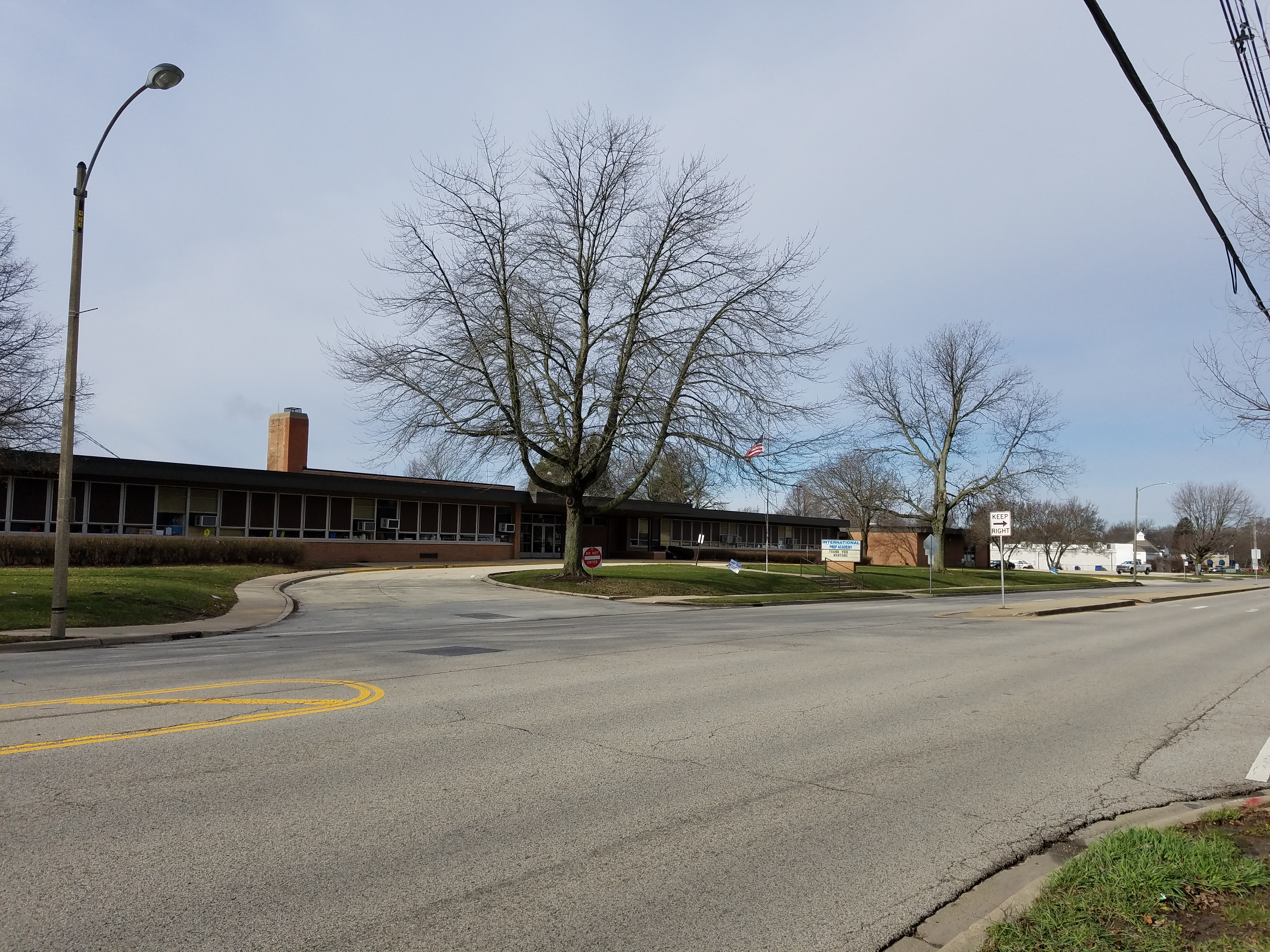
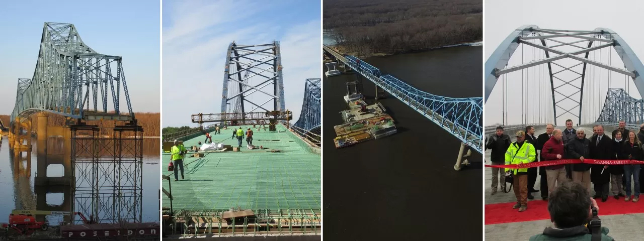
We have partnered with communities across the Midwest in Illinois, Iowa, Wisconsin and beyond on several land development projects. Prior to planning, Fehr Graham’s land surveying services team will map your project sites, assess areas for viable expansion or conduct environmental remediation surveys. Some communities we have worked with are:
Using the scope of Fehr Graham’s land surveying services, you can rest assured the prompt, meticulous results in our survey formats will support all your land development projects. Fehr Graham is the one-stop solution for end-to-end land surveying services. Contact us to learn more about our land surveying services or give us a call at 815.562.9087.